
software
PIX4Dmapper
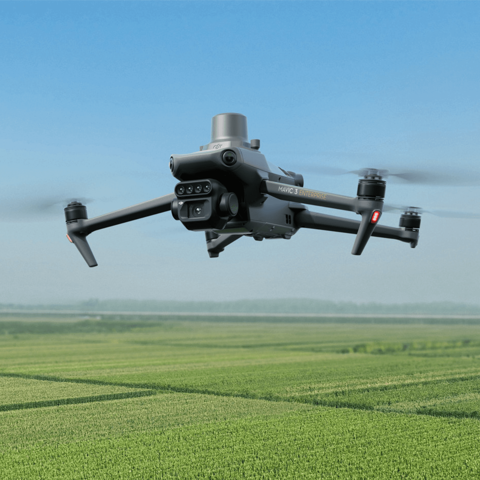
PIX4Dmapper enables professional processing of aerial imagery into maps, point clouds, orthomosaics, and 3D models for engineering and survey workflows. With PIX4D, agricultural field mapping enables early pest identification, fertilizer planning, crop protection, and targeted input application.
Key features
- Photogrammetry processing
- Orthomosaic generation
- Point cloud creation
- 3D model output
- Survey workflow support
- Agricultural field analysis
Talk to a product specialist
Get help with availability, pricing, deployment planning, or compatibility for the PIX4Dmapper.
Product specifications
Keep the specification object clean in JSON so it can be migrated to Supabase fields later.