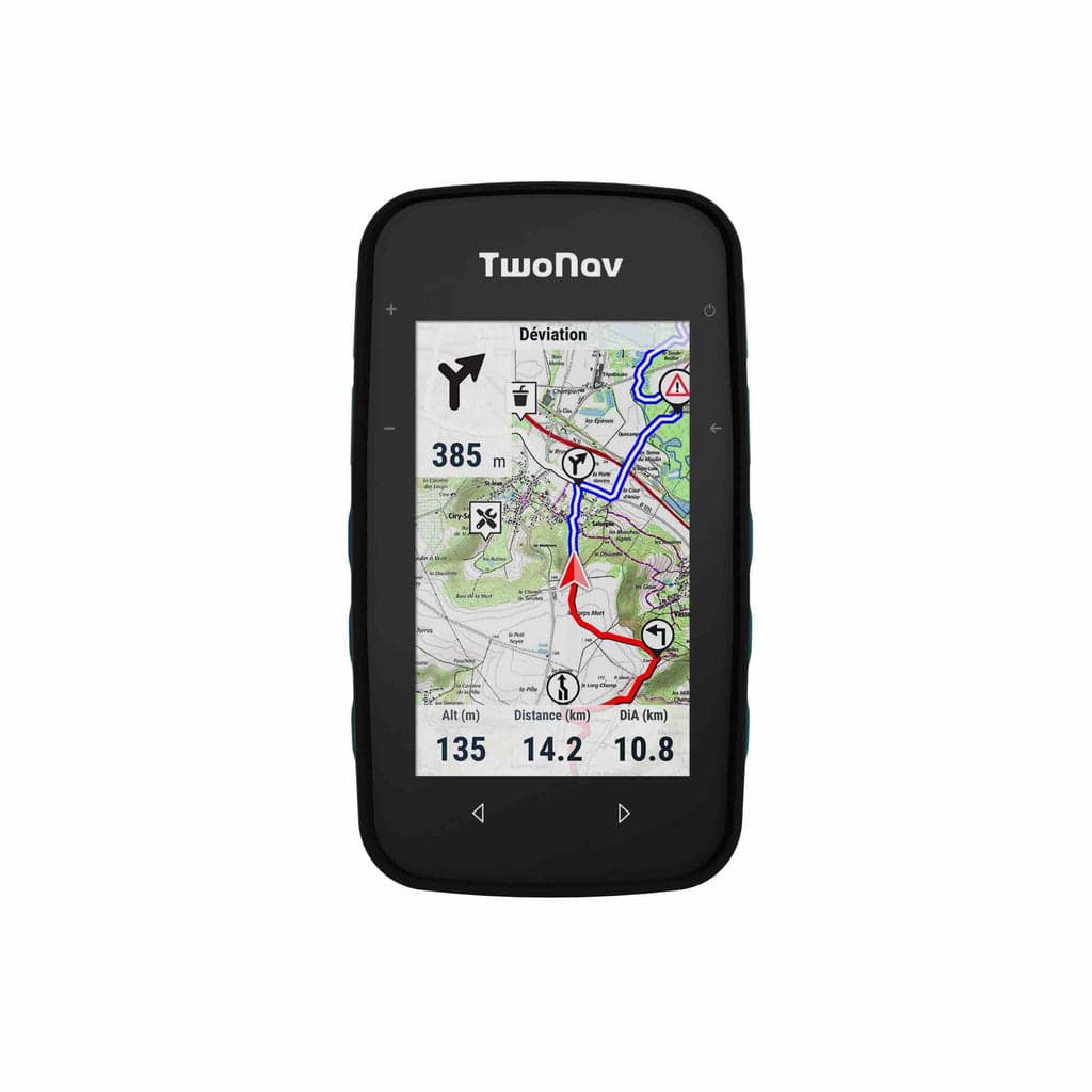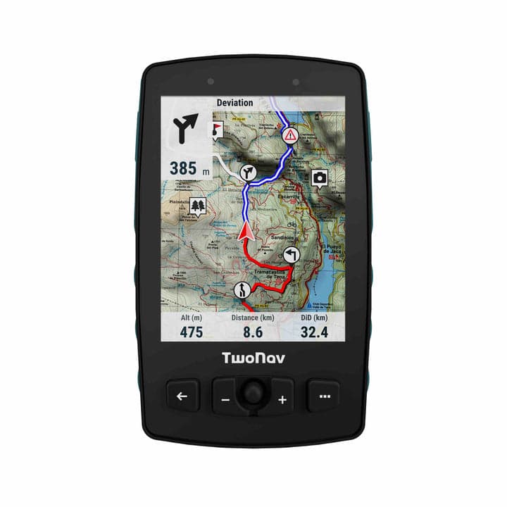
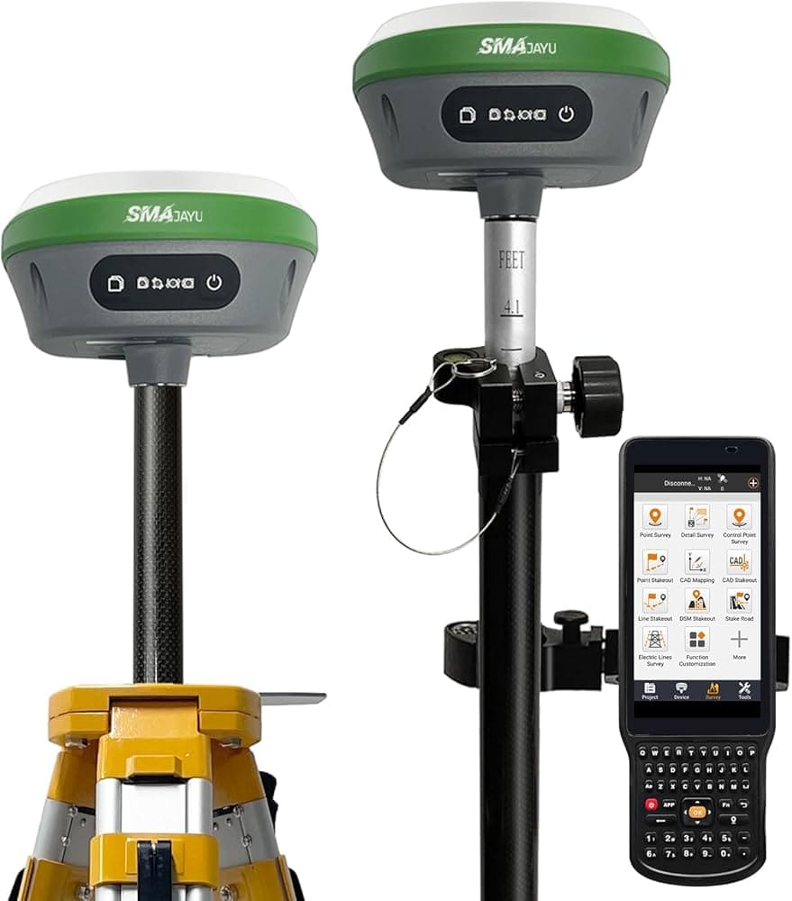
Achieve millimeter-level precision in surveying, construction, and GIS with our advanced Two Nav GNSS solutions. Accurate positioning is the foundation of any geospatial project. Our GNSS receivers combine RTK (Real-Time Kinematic) and PPK (Post-Processed Kinematic) correction methods to deliver reliable centimeter and millimeter-level accuracy. The Two Nav Roc provides professional-grade surveying accuracy, the Cross Plus offers enhanced performance for demanding applications, the Terra is built for harsh field conditions, and the Aventura 2 Plus is optimized for GIS data collection. Multi-constellation support means these receivers lock onto GPS, GLONASS, Galileo, and BeiDou satellites simultaneously for improved reliability in obstructed environments.

Millimeter accuracy, wherever your team works
Two Nav multi-constellation GNSS receivers keep survey, construction, and GIS crews confident in every reading, even in demanding field conditions.
Key Features
What makes this solution stand out.
- Two Nav Roc - Professional GNSS receiver for high-precision surveying and geospatial data collection.
- Two Nav Cross Plus - Advanced GNSS receiver with enhanced features for demanding surveying applications.
- Two Nav Terra - Rugged GNSS receiver designed for harsh field conditions and outdoor operations.
- Two Nav Aventura 2 Plus - Versatile GNSS receiver for GIS data collection and field mapping.
- RTK & PPK Technology - Real-time kinematic and post-processing correction for centimeter-to-millimeter accuracy.
GNSS System products and services
Browse available Gnss content managed from JSON.