
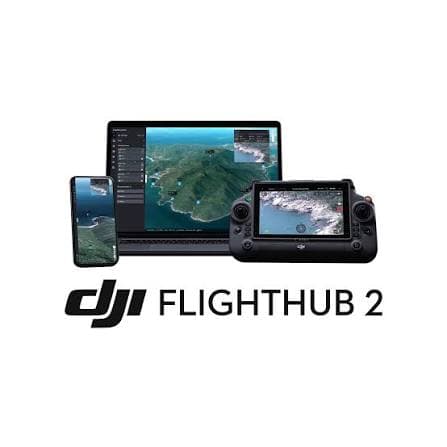
Unlock the full potential of your drone with our specialized software ecosystem. DJI software includes FlightHub 2 for cloud-based fleet management, FlightHub 2 On-Premises for local data control, DJI Terra for photogrammetry, DJI Modify for 3D modeling, and DJI DeliveryHub for logistics. Pix4D offers Matic for rapid mapping, Fields for agriculture, React for real-time processing, mapper for professional photogrammetry, and Cloud for collaborative workflows. Terra Solid provides Terrascan for LiDAR processing, TerraModeler for terrain modeling, TerraMatch for data calibration, and TerraPhoto for aerial image processing.

Turn raw flight data into decisions
Our software connects flight planning, photogrammetry, and analytics into one seamless workflow from DJI, Pix4D, and Terra Solid.
Key Features
What makes this solution stand out.
- DJI Software - FlightHub 2, FlightHub 2 On-Premises, DJI Terra, DJI Modify, DJI DeliveryHub for fleet management and data processing.
- Pix4D Software - Matic, Fields, React, mapper, Cloud for photogrammetry, agriculture, and collaborative mapping.
- Terra Solid Software - Terrascan, TerraModeler, TerraMatch, TerraPhoto for LiDAR processing and terrain modeling.
- Flight Planning - Autonomous missions with precise waypoint navigation and terrain-aware altitude control.
- Data Processing - Convert imagery and point clouds into orthomosaics, 3D models, and analytics.
Software products and services
Browse available Software content managed from JSON.




.jpg&w=3840&q=75)


.jpg&w=3840&q=75)
.jpg&w=3840&q=75)
.jpg&w=3840&q=75)
.jpg&w=3840&q=75)