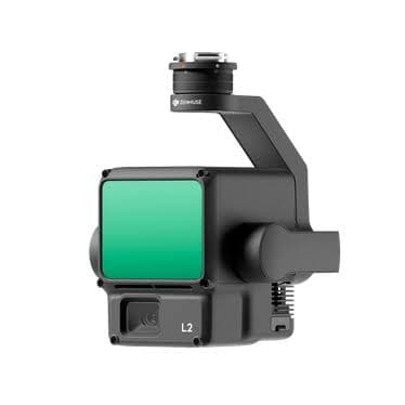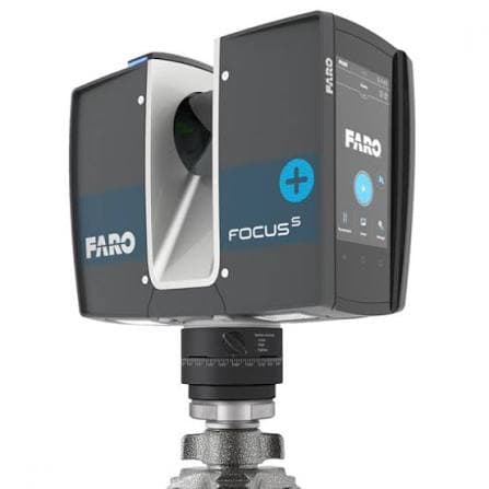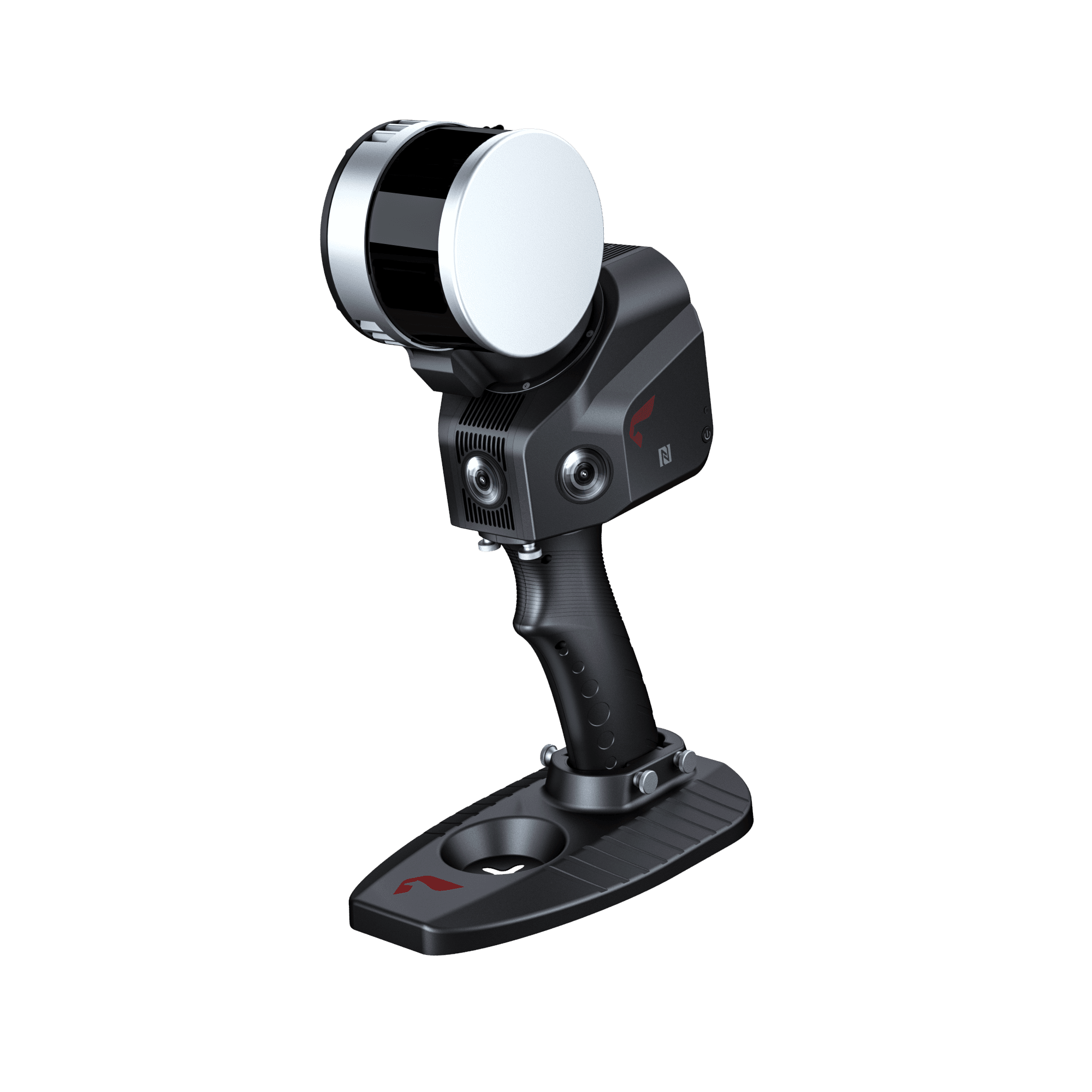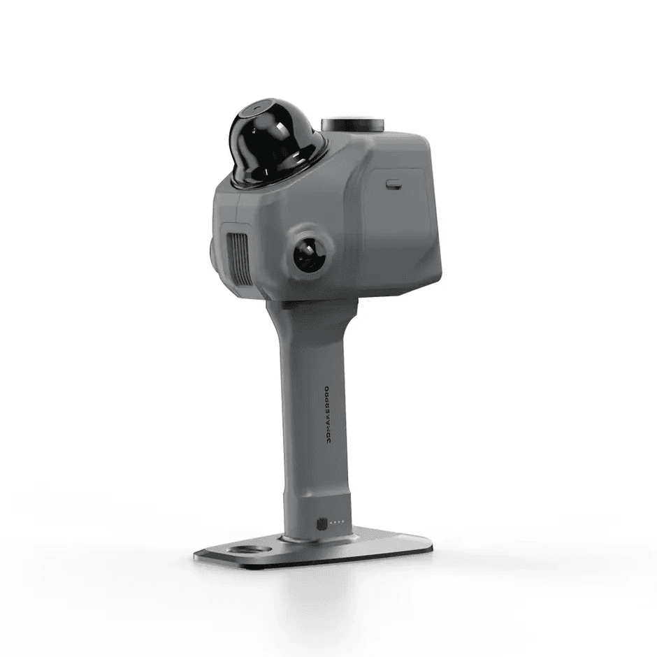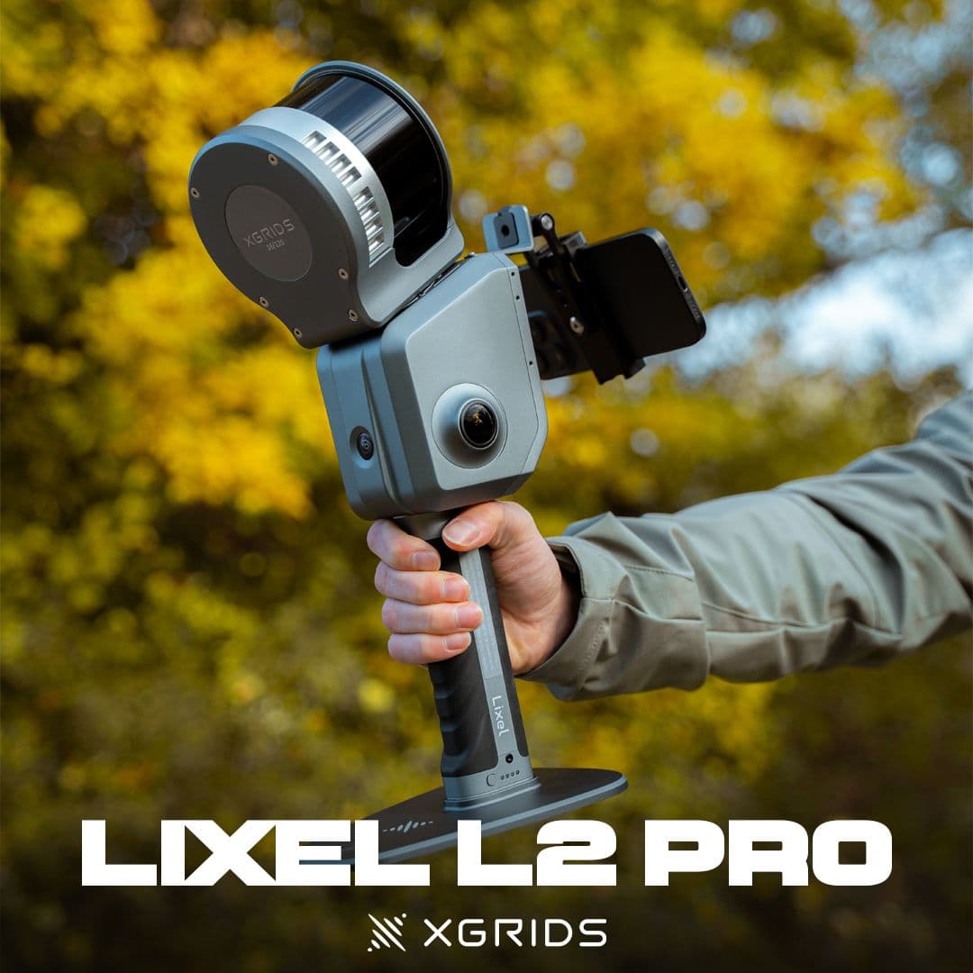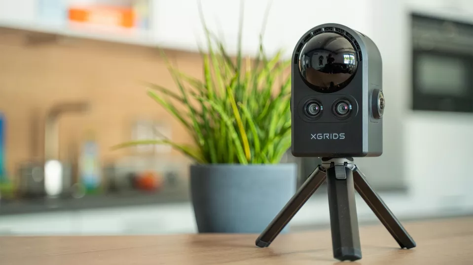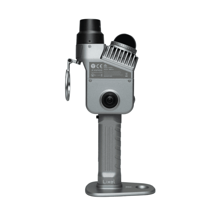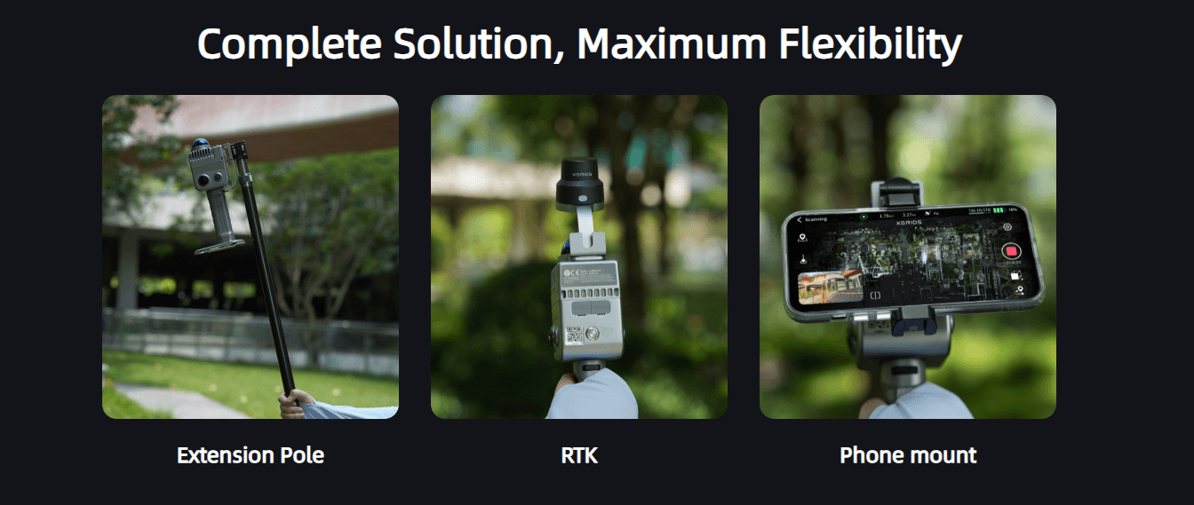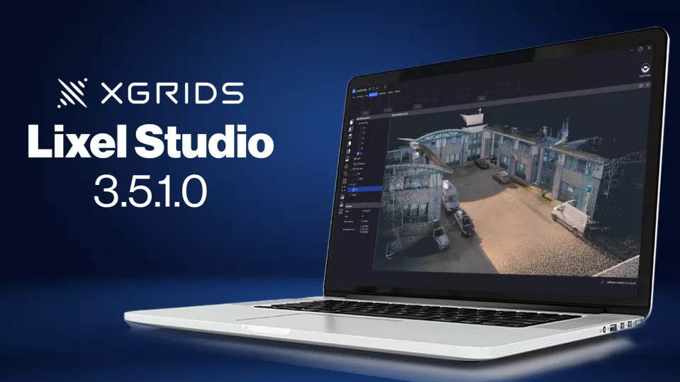
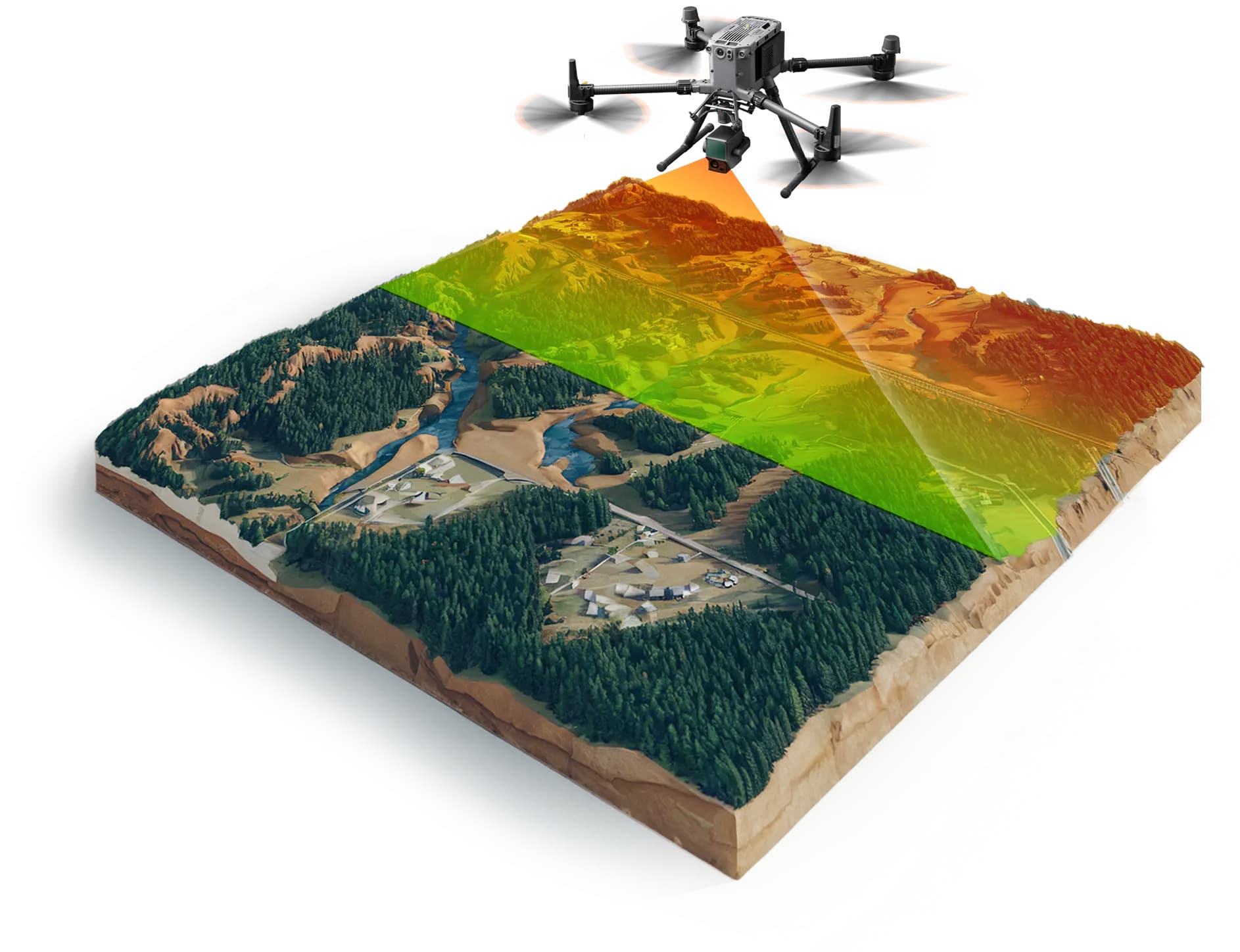
Capture highly detailed 3D data for architecture, archaeology, and industrial inspections with our advanced XGrids scanning systems. The XGrids Lixel L2 Pro delivers professional-grade LiDAR scanning for high-precision mapping and surveying. The XGrids PortalCam provides rapid capture of building portals and architectural features. The XGrids Lixel K2 offers compact LiDAR for mobile mapping and indoor 3D capture. The XGrids Lixel Kity K1 provides an entry-level solution for basic 3D mapping. LixelStudio software processes and analyzes LiDAR data from XGrids scanners. Together, these tools give construction, heritage preservation, and mining teams the flexibility to choose the right capture method for each project.
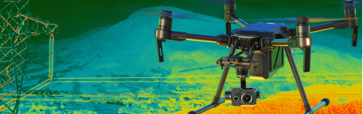
Every detail, captured in 3D
XGrids scanning systems provide precise 3D digital records for architecture, heritage, and mining projects.
Key Features
What makes this solution stand out.
- XGrids Lixel L2 Pro - Professional-grade LiDAR scanner for high-precision 3D mapping and surveying applications.
- XGrids PortalCam - Specialized scanning system for rapid capture of building portals and architectural features.
- XGrids Lixel K2 - Compact LiDAR scanner for mobile mapping and indoor 3D capture applications.
- XGrids Lixel Kity K1 - Entry-level LiDAR scanner for basic 3D mapping and documentation applications.
- LixelStudio - Software suite for processing and analyzing LiDAR data from XGrids scanners.
Applications
Common use cases and industries.
- Construction: As-built documentation and progress tracking that compares real-world site conditions against the design model.
- Heritage Preservation: Digital archiving of historical sites and structures, preserving detailed records for restoration and research.
- Mining: Accurate volume calculations and pit monitoring to track material extraction, stockpile levels, and site changes over time.
Scanners products and services
Browse available Scanners content managed from JSON.