
Geospatial Solutions
Drone, geospatial, mapping and reality capture solutions
Field technology ecosystem
UAV use cases designed for practical business outcomes
The UAV section should feel more visual and interactive because customers need to understand both the product and the operational value.
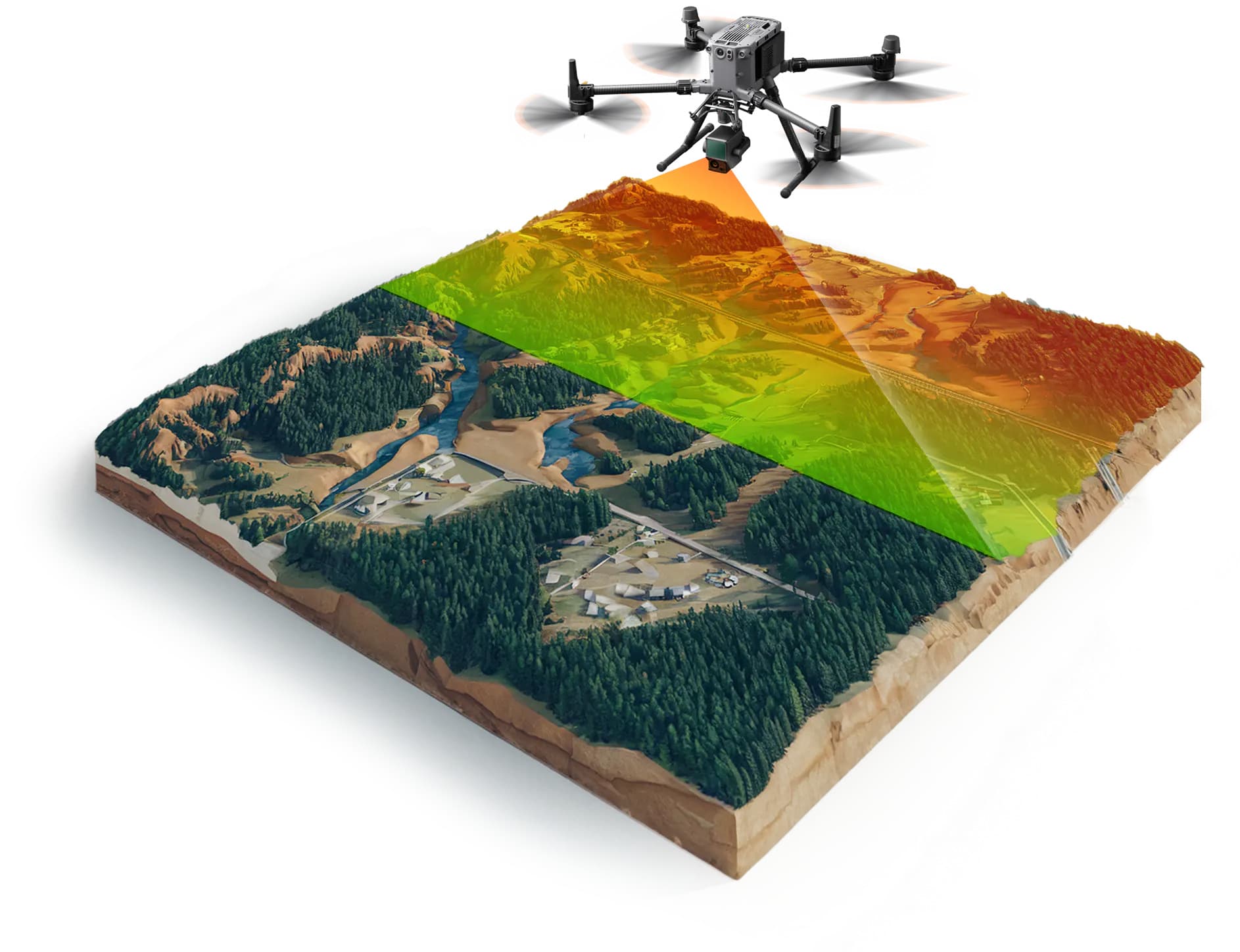
Aerial Mapping
Convert field data into useful survey, inspection and mapping outputs.
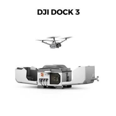
Autonomous Operations
Support repeatable UAV workflows with dock and enterprise drone platforms.
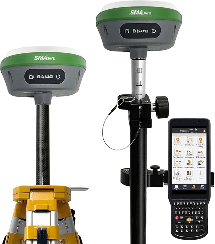
GNSS Accuracy
Improve positioning confidence for field teams and geospatial workflows.
Reality Capture
Connect drones, scanners, BIM and software into one delivery ecosystem.
UAV solution categories
Explore our comprehensive range of UAV solutions and services.
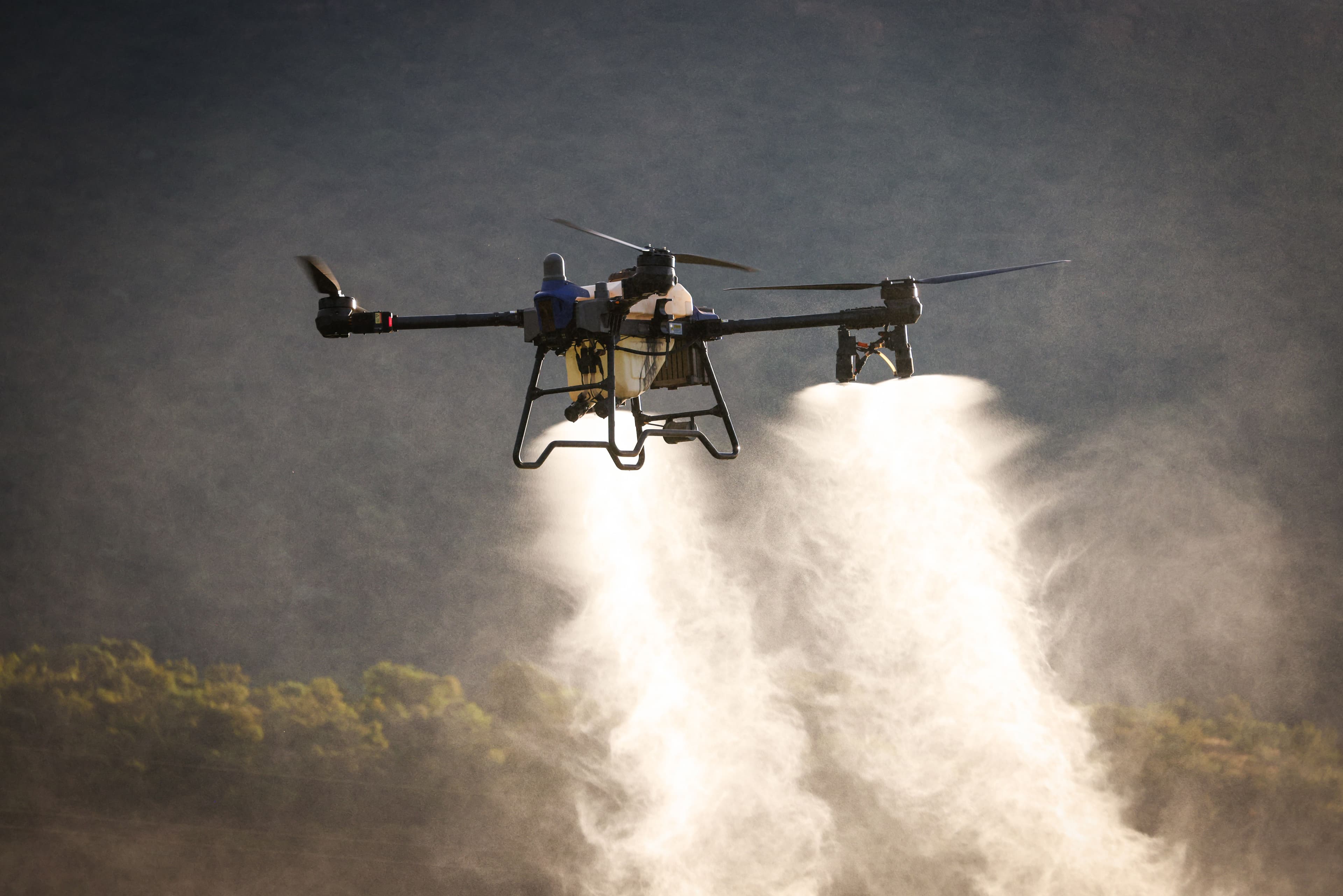
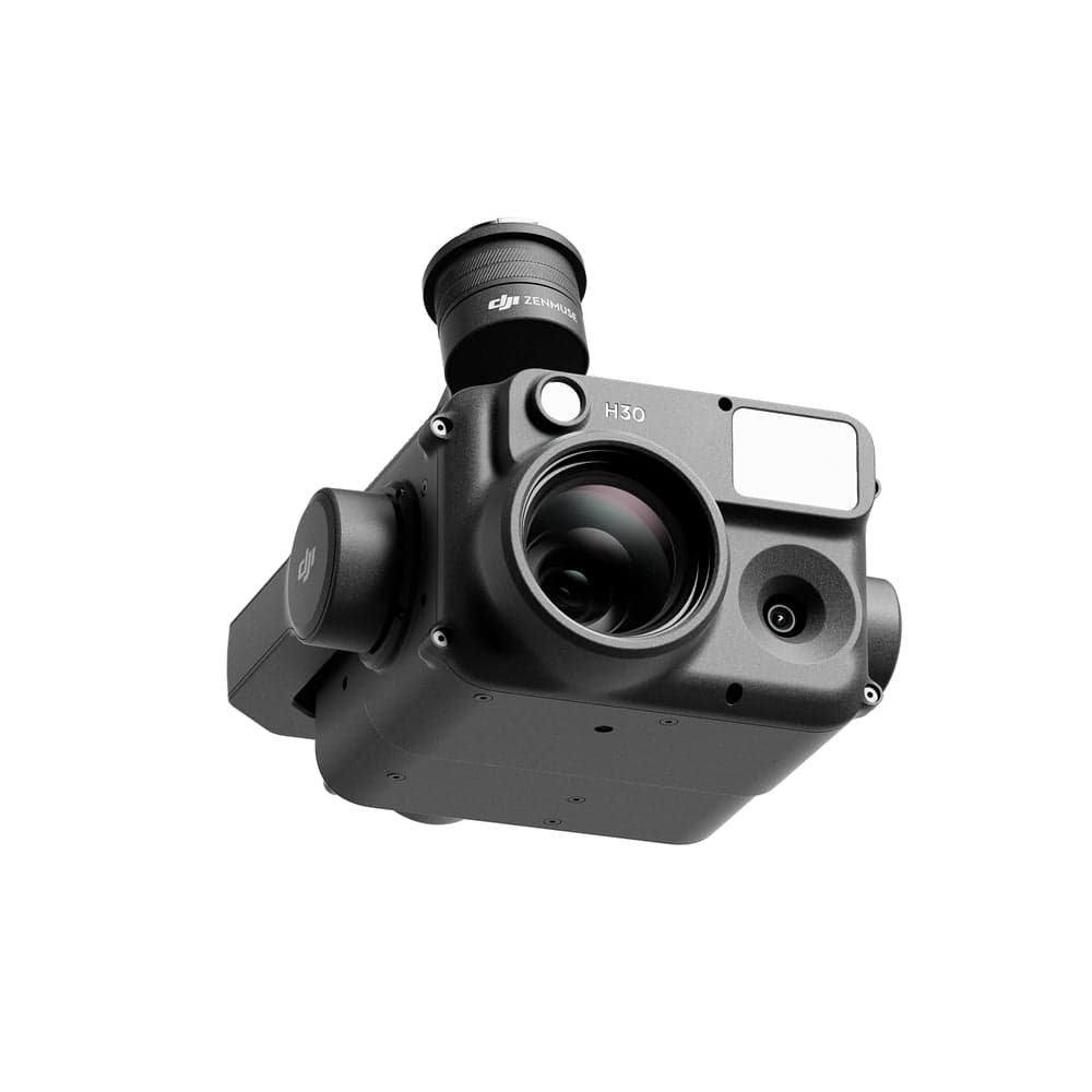
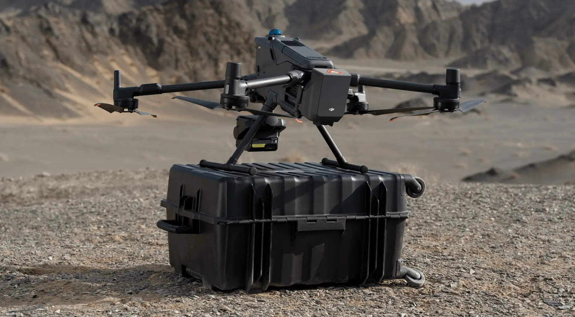

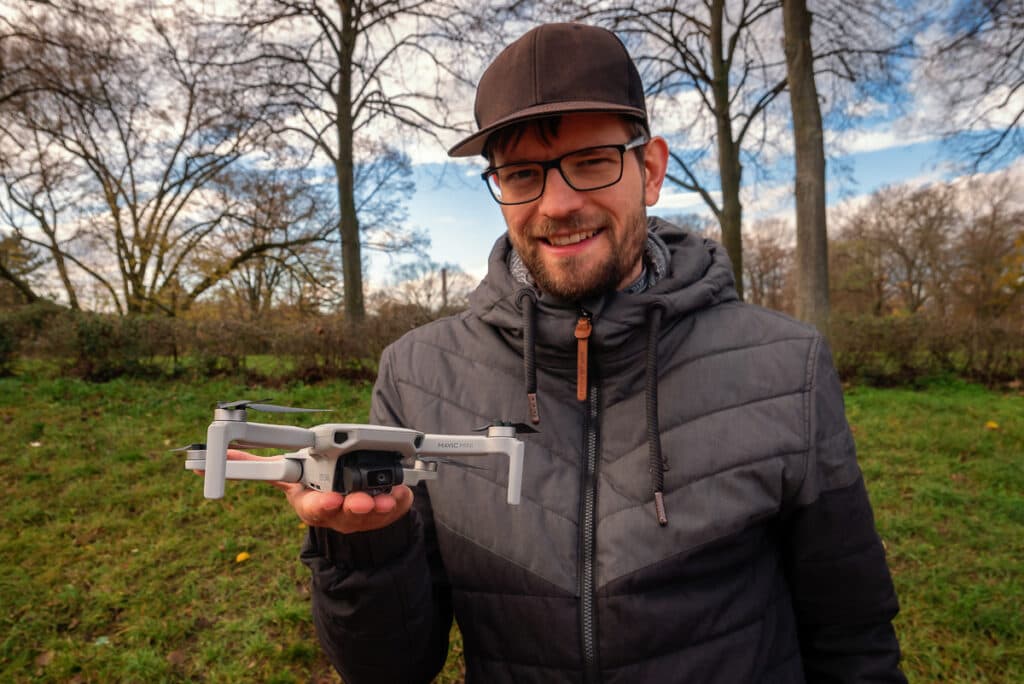
Featured drones
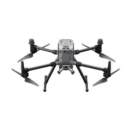
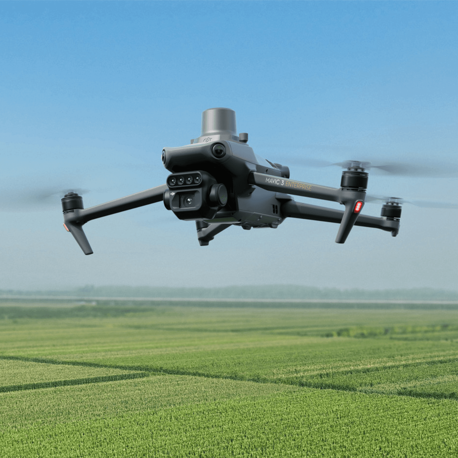
Featured UAV platforms with product detail pages, image sliders, specifications, and related products.
Compare drones
Select two drones and compare core technical features in a clear table.
Select two UAV platforms and review operational fit.