drones
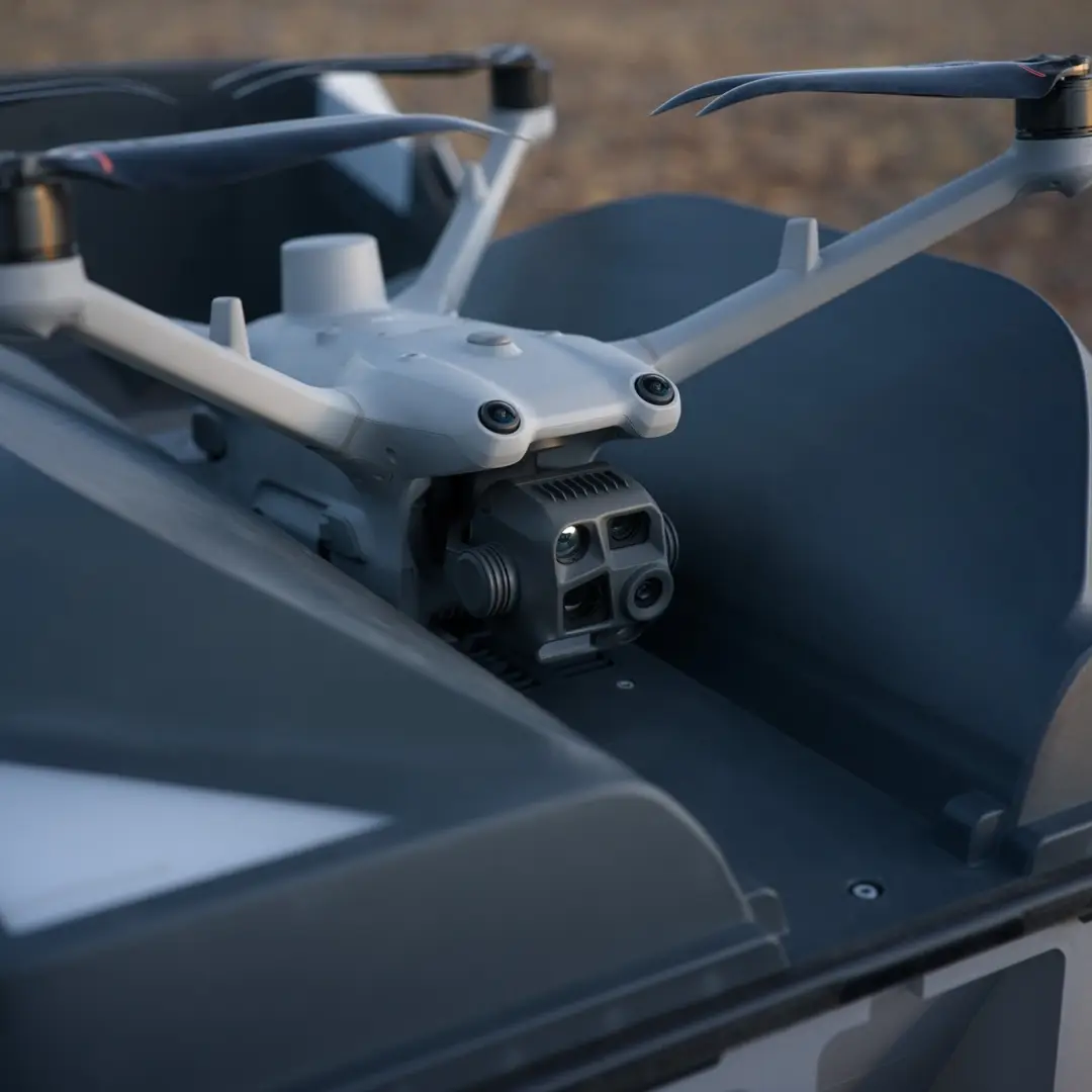
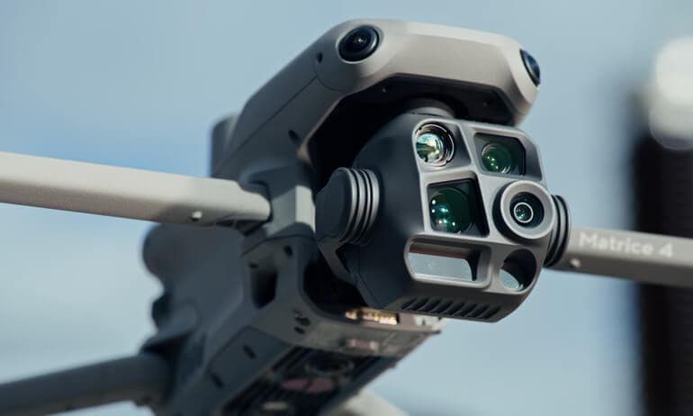
DJI Matrice 4E
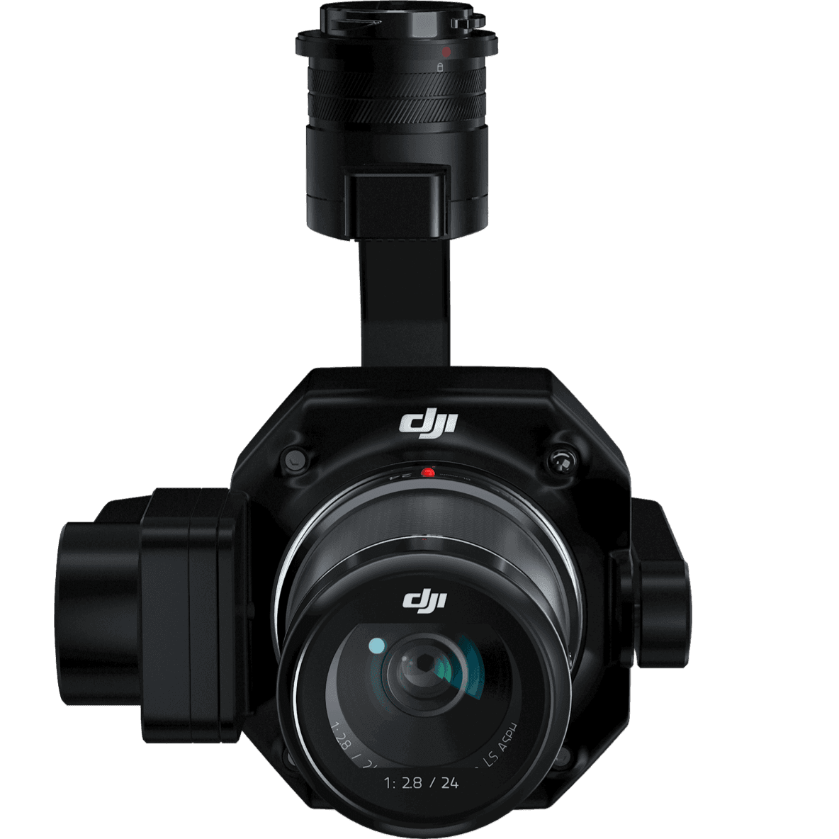
DJI Matrice 4E is optimized for photogrammetry and mapping applications, featuring advanced camera systems and precise positioning for survey-grade data collection. Ideal for construction monitoring, topographic surveys, and infrastructure inspection where high-resolution imagery and accuracy are essential.
Key features
- Photogrammetry optimized
- High-resolution imaging
- RTK positioning
- Survey-grade accuracy
- Mapping workflows
Talk to a product specialist
Get help with availability, pricing, deployment planning, or compatibility for the DJI Matrice 4E.
Product specifications
Keep the specification object clean in JSON so it can be migrated to Supabase fields later.
Compare with other drones
Useful for customers who need to shortlist drone options before contacting sales.
Select two UAV platforms and review operational fit.