payloads
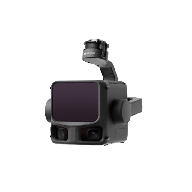
Zenmuse L3
Zenmuse L3 is a high-performance LiDAR sensor designed for enterprise drones, capable of capturing dense point clouds that penetrate vegetation to reveal accurate ground elevation. Ideal for topographic surveying, forestry management, and infrastructure inspection where traditional photogrammetry struggles with canopy coverage.
Key features
- High-density LiDAR
- Vegetation penetration
- RTK integration
- Survey-grade accuracy
- Multi-return capability
Talk to a product specialist
Get help with availability, pricing, deployment planning, or compatibility for the Zenmuse L3.
Product specifications
Keep the specification object clean in JSON so it can be migrated to Supabase fields later.
.jpg&w=3840&q=75)